
Saturday, August 10th
Michael had been planning a follow up to last year's Montana trip with another visit to Big Sky country. But, as the weekend approached, the weather took a turn for the worse, so we made a quick decision Friday evening to head to the Lost River and Lemhi ranges before turning North.
Like last year, Michael, Super Dave and I would be the participants. After the short 5 hour drive from Boise, we arrived at the Swauger Lakes trailhead under beautiful skies. NOAA had a 30% thundershower prediction for the following afternoon, so we figured we'd climb the peak with the longer ridge approach today - Ferguson Peak.
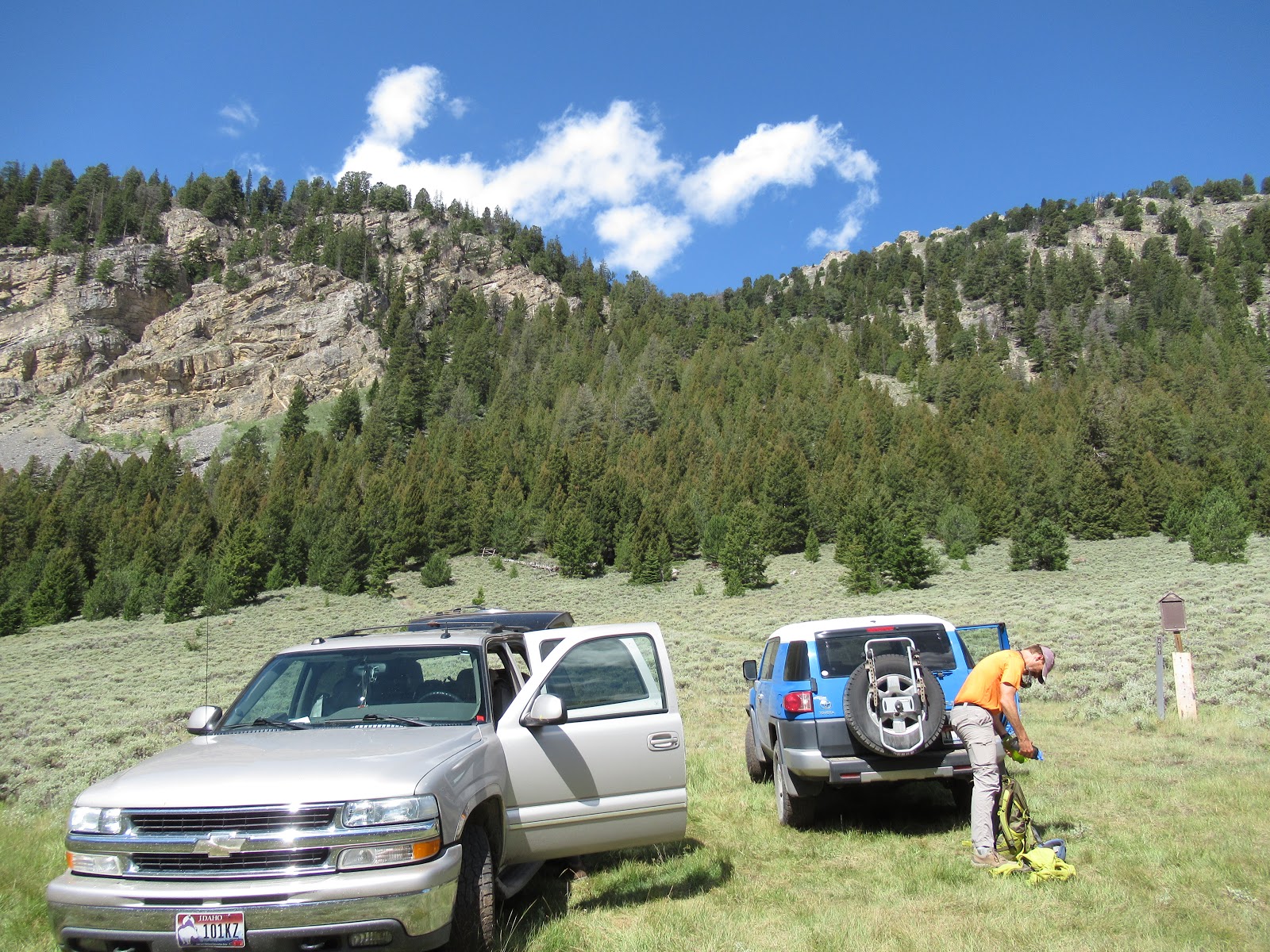
We quickly made our way up the switchbacks on the nice Swauger Lakes trail and took a left turn as the trail headed the other way. We followed the valley southwest until we reached 10,300 feet before climbing the steep scree field to reach the ridge to Ferguson.


At the base of the scree field, we spotted a couple dozen sheep in a few groups. This ram allowed me to get a picture before he scampered off.

 |
| Michael headed up the scree |
 |
| Dave contemplating the ridge |
 |
| Ferguson Peak |
We followed the crest of the ridge as best we could, but deviated around the sketchy sections by following the sheep trails. After almost two miles and two hours of ridge, we were at the summit.
 |
| Half-assed Splattski |

 |
| Michael on a ledge headed back from Ferguson |
Day 1 stats
Distance - 10.3 miles
Elevation - 4300 feet
Time - 7:40
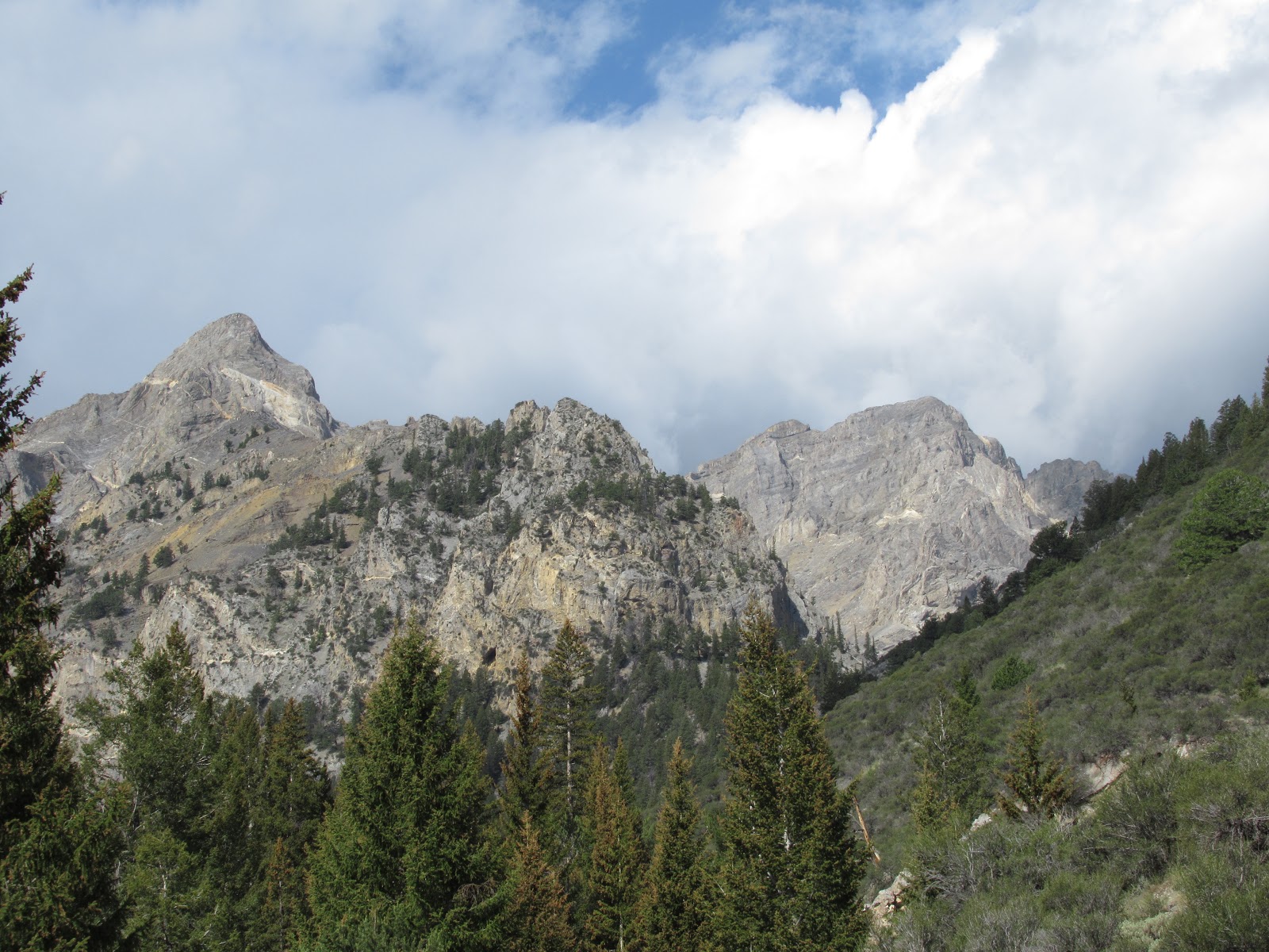
Our next objective, Cleft Peak, was in the drainage to our North. We only had to drive a short while before we happened upon a nice spot to pitch our tents.
Sunday, August 11th
We woke to a beautiful sunny morning, and we were not in any great hurry to get going. So, after a leisurely breakfast and a bit of bird watching, we finally broke camp and made the short drive to the end of Dry Creek road.
It appeared that NOAA's prediction of precip might come true as dark clouds were moving in quickly from the West.

 |
| Ferguson Peak from the other side |

 |
| Cleft Peak on the left |
 |
| Now where is the trail again? |
 |
| Heading up the drainage |
 |
| Dave on a 3rd class scramble in the drainage |


We each chose our own line, put our heads down and zig-zagged our way up the steep scree field until we reached the ridge at 10,800 feet.

Once on the ridge, we had a few scramble sections, but nothing too difficult. Unlike the long ridge the previous day on Ferguson, the ridge to Cleft was only 1/2 mile long.

 |
| D. Pahlas photo |
 |
| Our summit is there somewhere |
 |
 |
| North summit of Cleft |
 |
| Michael plunge stepping his way down |
We finally reached the cars a little after 7PM. After a quick discussion, we opted to try and get to Mackay for a cheeseburger. We pulled into Amy Lou's in Mackay at 8:45PM on Sunday evening, and after some sweet talking, convinced them to restart the grill for us. Three excellent cheeseburgers later and we were on our way to find a camping spot along the Salmon River.
Day 2 stats
Distance - 14.8 miles
Elevation - 4300 feet
Time - 10:00
No comments:
Post a Comment