 |
| Wham Ridge as we were leaving Monday morning |
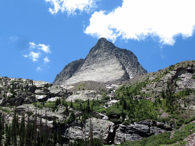
When we first visited Montrose and hiked in the San Juan mountains last September, Dylan pointed to Vestal Peak in the distance and told me we needed to climb it via the Wham Ridge route. I did a little research, saw the online photos and was instantly intrigued. Easy 5th class climbing on solid rock in an alpine setting. Right up my alley!
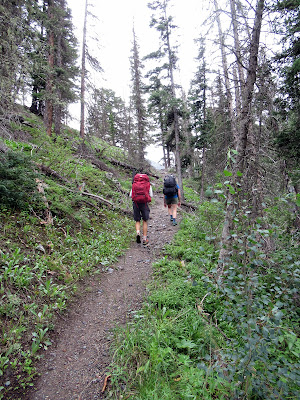
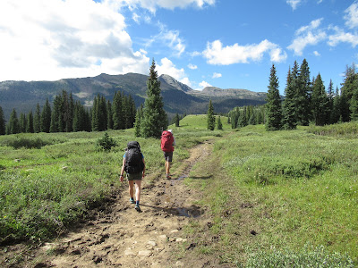
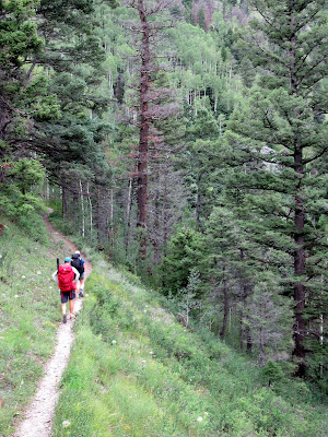
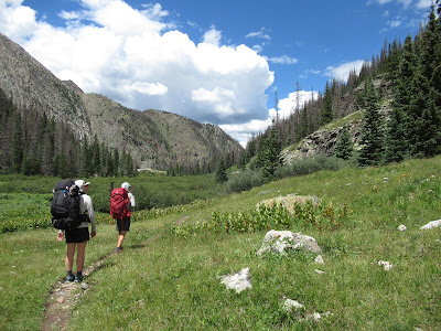
After a quick 1.5 hour drive to Molas Pass, Dylan, Nicole and I were cheerfully hiking down the trail at 10:30. Yes, we were hiking down. The initial ~4 miles drops from the parking area at 10,600' down to the Animas River at about 8900'. Since we were on the Colorado trail, the grade was easy, lulling us into complacency.
 |
| My view of the two of them for most of the hike |
 |
| Heading down |
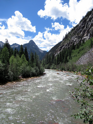 |
| The Animas River |
We reached the Animas River after a bit and took our first break. The Durango and Silverton Narrow Gauge Railway travels alongside the river as a tourist attraction. We had an option to utilize the train to lessen the distance and elevation gain, but their schedule wouldn't work for us on this short over-night trip.
After following the river for a short distance, the Colorado trail takes a left and follows Elk Creek.
 |
| Heading up Elk Creek |
There were ample opportunities to forage along the trail. Raspberries, Whortleberries and even Strawberries were all within easy reach. We did our best to consume as many as possible.
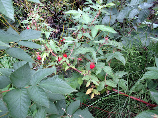 |
| Raspberries |
 |
| Nicole caught snacking on said Raspberries. |
As we worked our way up the trail along Elk Creek, the clouds that had been building started spitting rain. This was more of a welcome than an annoyance since we were gradually regaining the altitude we had lost.
 |
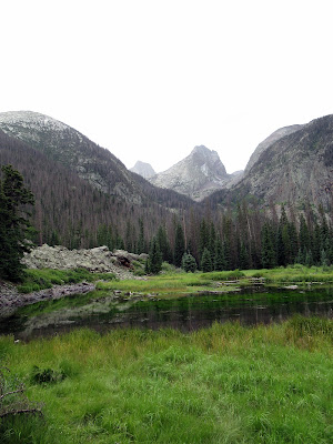
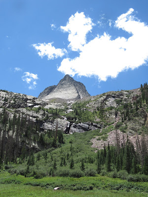
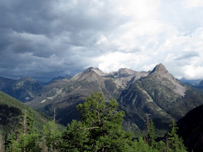
| Our first view of Vestal, the peak on the left way back there. |
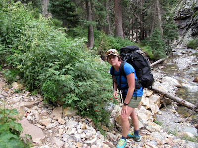
At the 8 mile mark, we sadly left the well groomed Colorado Trail and started up the climber's "trail" above Vestal Creek. This trail brought back some fun memories while hiking with a friend around McCall. Steep, rocky trail, with ample deadfall and the occasional bushwhack through alder thickets. Normally this is just routine misery, but with the added weight of a full backpack, it was quickly becoming a sufferfest.
 |
| The start of the climber's trail |
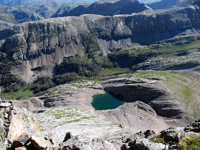
This trial, which brought us from 10,000' to 11,400', was painful for me. I'm sure Dylan and Nicole were also loving it, but I couldn't tell as they stayed in front of me. There are a few beaver ponds at this 11,400' meadow where many people choose to camp while climbing Vestal or the adjacent Arrow Peak.
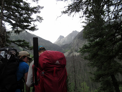
Our plan was to continue to Vestal Lake, only an additional 3/4 of a mile and 800' of gain, so we marched onward.
 |
Vestal - oh so close, but still so far.
We hiked to the right of the wet rock before veering left. |
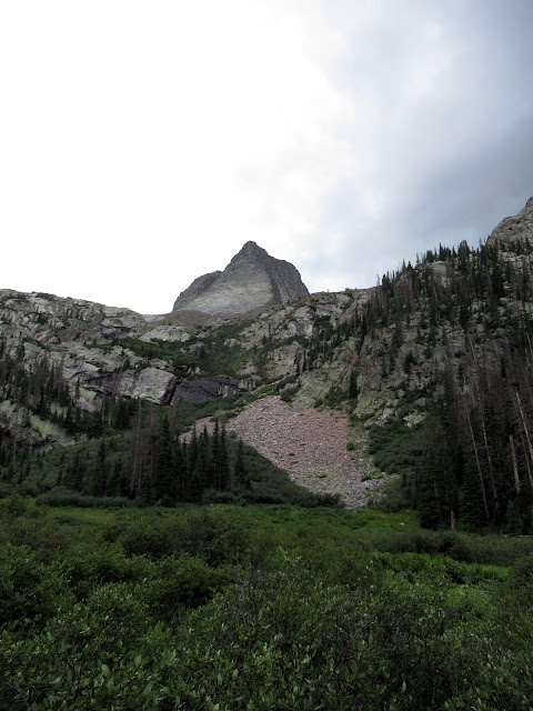
Thankfully this portion of the trail didn't have any dead fall. Instead, it switch-backed it's way almost vertically before terminating in a talus field. A little boulder hopping through the talus and we were soon exhaustedly setting up our tents near Vestal Lake.
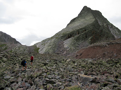 |
The talus field
Vestal Lake is just up over that green ramp above Dylan's head |
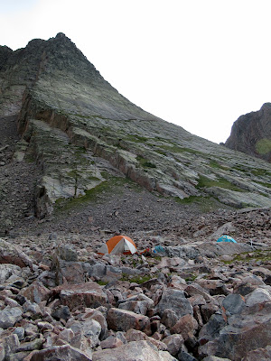 |
| Camp |
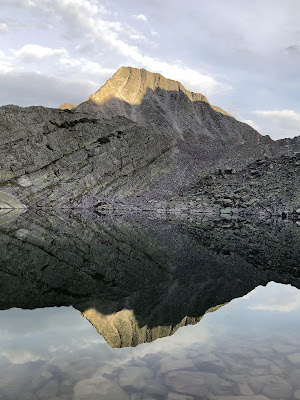 |
| Reflection of West Trinity Peak on Vestal Lake (D. Fadgen photo) |
We woke up to a beautiful morning and were excited for the climb. After some breakfast and a few minutes throwing rocks at a marmot trying to invade our camp, we started up the rocky ramp to towards Wham Ridge.
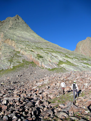 |
Wham Ridge is along the skyline.
We followed the highest thin green line that looks horizontal to get to the climb |
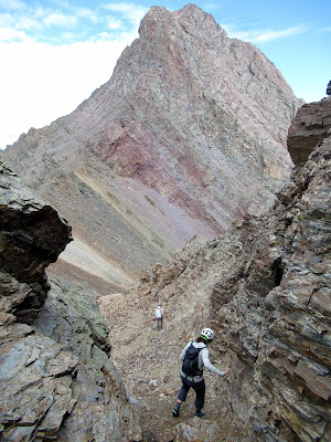
A short 20 minutes later and we were staring at our route while racking gear. It looked like it was going to be a good day!
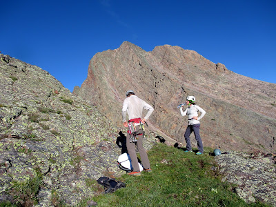 |
| Gearing up |
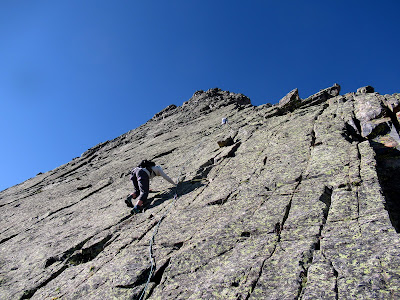
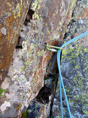
The plan was to simul-climb. Dylan would lead and place gear where appropriate. Nicole would then follow, with me another 4 meters behind her cleaning the gear. When Dylan would run out of gear or find a nice ledge, he'd stop and belay us up. With this being a 5.4 YDS route, setting a belay at the end of each rope length didn't make sense and would take a lot of time.
 |
| Dylan starting off |
 |
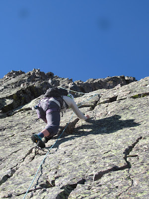
| And Nicole following |
 |
| Not too steep |
 |
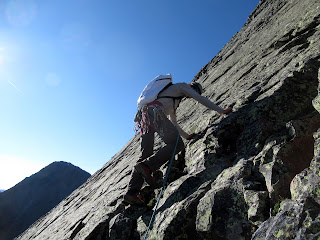
| Nicole cruising |
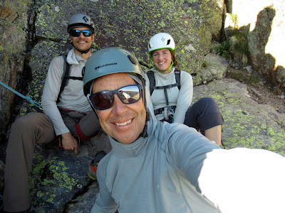 |
| All smiles at the first belay |
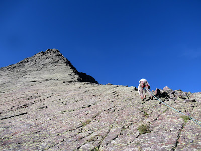
The climbing was relatively easy - moderate pitch, quality rock, and there was always a foot or hand hold when you needed one. Top that with beautiful weather and being with my son and his partner and you have the mix for a great day.
 |
| John Platt took me on my first alpine climb, 2011 Slick Rock |
 |
| Looking back down to camp |
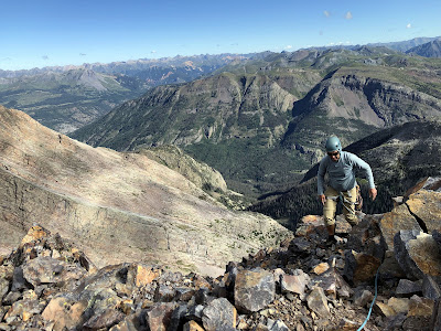
We popped over the top of Wham Ridge a couple of hours after we'd left camp. After stashing the rope in the pack, we dropped down a short notch and walked up to the summit.
 |
| John at the top (D. Fadgen photo) |
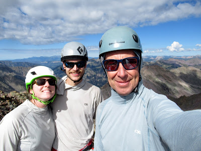 |
| Summit Splattski |
The views from the top were spectacular. There were mountains 360 degrees around us, and we took it all in for a few minutes. But not too long, as we had to drop down the back side, slide down a scree slope, and boulder hop our way back to camp. After a re-pack of camp, we then had an 11 mile hike back to the car. We still had a long day ahead of us.
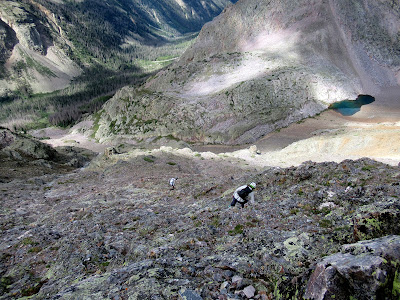 |
| The maze that was the descent route |
 |
| Still more down |
I'd like to say that the walk out was pleasant, and for the most part it was OK. We had hoped for cloud cover like the previous day, but the clouds didn't cooperate much.
So it was warm.
We retraced our steps down the steep face to the beaver ponds and then wound our way through the alder and deadfall back to Elk Creek and the well maintained Colorado trail.
 |
| A look back at what we'd just done |
 |
| Heading down Elk Creek |
We were all a bit tired as we arrived at the bridge over the Animas River a couple of hours later. Remember the ~4 miles of downhill when had on the way in the previous day? Now it was uphill. 1700' of uphill on tired legs. We were all wishing we'd taken the train!
 |
| One last look back while resting during the 1800' pull back to the car |
The uphill pull was tough, but it didn't break us and we eventually made it to Ouray in time for burgers and beers at the Ouray Brewery.
An excellent alpine adventure!
Stats -
Distance: ~24 miles
Elevation: ~7500 between both days
Time: Who cares!