 |
| Mt. Idaho |
We caught up with each other while enjoying a great dinner of T-Bone steaks, sweet potato and apple hash, blackberry pie and a couple of beers. With full bellies, it wasn't too difficult to turn in early for our 5AM wake up.
We parked at Elkhorn Creek and were walking up the trail at 6:15AM. It was looking like it was going to be a gorgeous day, cool, sunny and little wind. The trails winds through the sagebrush, before stating the uphill grind through the trees.
 |
| Peak 11,967 |
We were making good time in the shade, progressing upward at 1500' per hour all the while enjoying the views in the Elkhorn Creek cirque. After a couple of hours, we broke out into the sunshine at about 10K feet and took an extended break. Staring us in the face was the scree slope leading to the west face of Mt Idaho.
 |
| Eastern slope of Mt Morrison |
 |
| Steve heading up |
 |
| Mt Morrison (left) |
 |
| Breaking out into the sunshine |
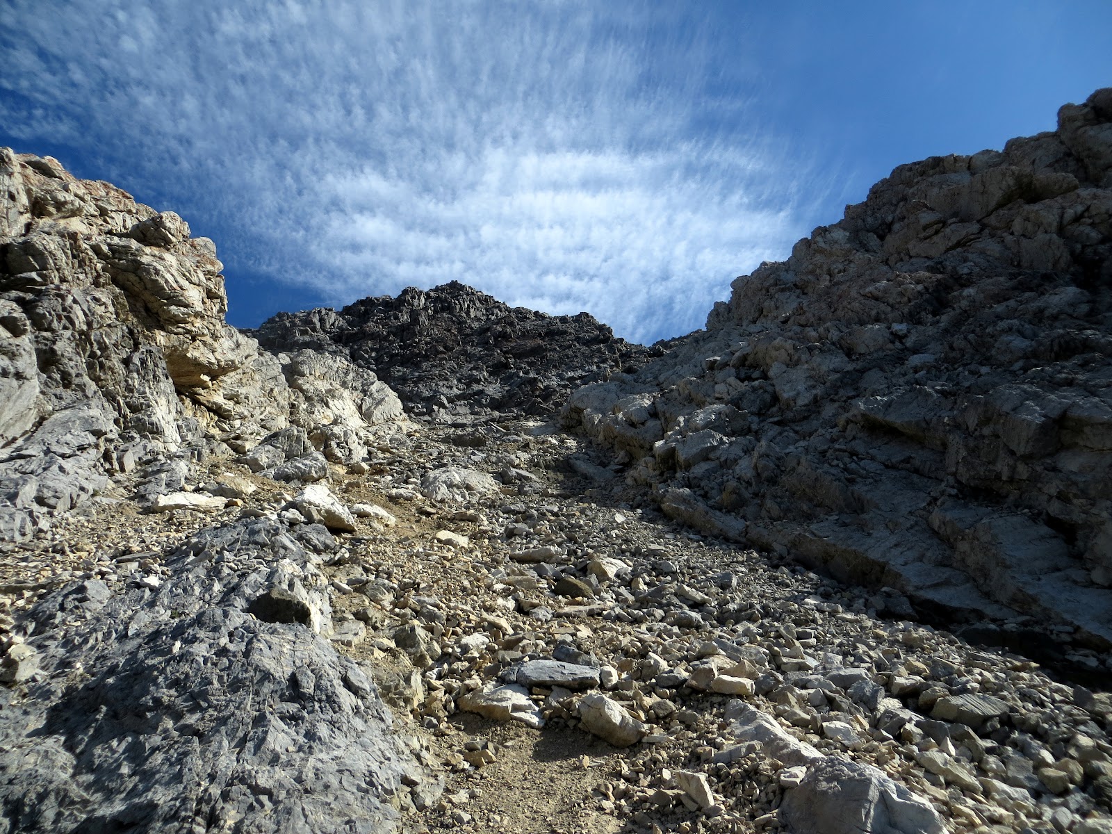
We followed the trail through the scree, seen above, until we reached a section of white rock, where we obtained the ridge.
Unknown to us, the trail split at this ridge and we mistakenly took the right fork. We probably didn't see the left turn that went over the ridge due to it being in the shade. As we were crossing the class 3+ rock seen in the picture below, I kept thinking that we were off trail. But, someone had left a large walking stick (Brett maybe?), so we kept moving along. It was't until the descent that we found the correct (easier) route.
 |
| Don't go this way! |
 |
| Back on trail |
We followed the trail until we reached the west face and here we split up. Steve took the semi-solid rock to the left side while I took the right. This allowed us to move up without worrying about kicking rocks on each other.
 |
| Loose, rocky west face |
 |
| Steve almost to the summit |
We scrambled up without much difficulty and reached the top at 10:45, 4.5 hours after we had started. This was Steve's 9th and final Idaho 12'er and my 7th. The views from the summit did not disappoint, with Mount Borah standing tall and proud just to our north.
 |
| Mt Borah |
We took a nice break on top of Mt Idaho, surveying the surroundings, while fueling up for the next objective, Mt. Morrison.
 |
| Ridge from Mt. Idaho to Mt. Morrison |
 |
| Mt. Idaho summit Splattski |
With our mojo rising, we did our best at boot skiing our way down the loose rocks on the face of Mt. Idaho. We traversed across the ridge, this time correcting the error made on the ascent in the white rock section, before obtaining the connecting ridge to Mt. Morrison.
 |
| Steve dropping off of Mt. Idaho |
 |
| It's only "over there" |
 |
| Close up of Mt. Morrison |
The first obstacle on the ridge was a gnarly looking rock outcropping. Rather than go up and over this, we decided to drop down 300 feet or so and traverse below it. The going down part wasn't too bad, but the traverse was pretty loose, and it was starting to heat up a bit. Once around the outcropping, we then had to go back up the 300 feet that we had previously lost. I was having second thoughts at this point, but since it was my idea to add this peak for the day, I applied Rule #5.
 |
| Steve on the way back up after crossing below the rock outcropping |
 |
| Back on the ridge with Mt. Idaho on the left |
Once around the outcropping, we had a real good look at Mt. Morrison, and it wasn't going to be a simple walk-up.
 |
| The summit is back there somewhere |
The fun was just beginning! We would move over one section of the rocky ridge only to encounter a drop off that we didn't feel comfortable negotiating. No worries, just down climb a bit, search for a natural ledge to skirt this sketchy section, and repeat as necessary. We picked our way up and around for the next half hour before the actual summit came into view. All the while I was humming Doors tunes!
 |
| Steve just about getting blown over while heading for the summit of Morrison |
 |
| Mt. Morrison summit Splattski |
After all the route finding and class 3 scrambling, we were pretty happy to be on the summit of this peak, We didn't linger though, as the wind was howling, and the clouds were building. Neither one of us wanted to retrace our steps, so we moved down the Southwest ridge hoping to find an easy way down.
No such luck, this pile of rubble, called Mt. Morrison, wan't going to go easy. We picked our way down the loose rock for close to a 1000 feet before we could get in some scree small enough to allow us to boot ski a little.
 |
| Cool rock formation on the SW ridge |
 |
| Steve picking his way down |
After another 1000 feet of descent we finally hit the trail at 9K feet. Only another 2K of hiking and we were back at the truck enjoying a couple of large, cold beers!
 |
| Looking back up our descent route |
I'd like to thank Steve for the opportunity to put in a big day. These other obscure peaks are so close to the more popular peaks and are usually a lot more fun. Great day!
Stats:
Time: 10.5 hours car to car
Distance: ~8 miles
Elevation: 5800 feet


No comments:
Post a Comment