Fadgen's Adventures

Fadgen's Adventures
Green Creek Lake

Monday, August 16, 2010

Box Lake Backpacking with Taylor - Aug 13-15


Since Taylor will be leaving us for college in a couple of weeks we figured we needed to get out for a little father/daughter time.  We chose to return to the location where we had started our backpacking adventures back in 2003 - Box Lake, outside of McCall.   We never made it to the lake that year - it was still frozen!

We pulled up to the trail head at 11:00AM on Friday to find it completely full.  There must have been eight vehicles there!  After I finished cussing, we decided to take our chances and head up.

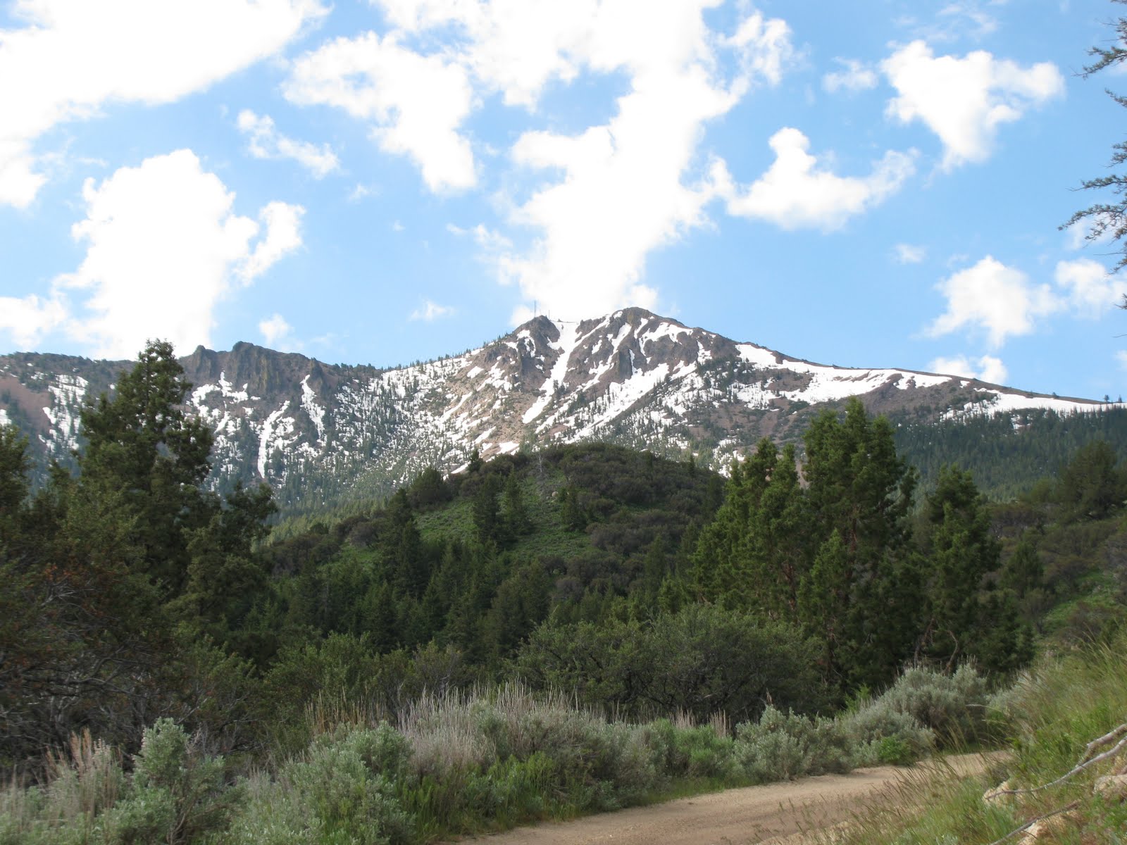
And up and up.  We had forgotten how steep the trail was, after all we hadn't been there in seven years.  Luckily it clouded up and there was a nice breeze blowing, making for perfect hiking weather.

We took our time on the climb and had to move out of the way for several groups coming down the mountain.  Seems like we timed it right since we counted close to 20 people and three horses leaving the area.

After a couple of hours we reached the high point of the trail and looked down on Box Lake.  It was all downhill from there.

Even though many people had left, the main campsites were all taken.  We had talked to a couple who were leaving and they told us about a nice spot on the other side of the lake.  So after a half hour bushwhack, we arrived at the other end of the lake and a nice camping spot.  By this time the weather had cleared and we enjoyed hanging out for the evening.
Alpenglow on Friday Night
Saturday morning (Taylor didn't wake until 9:30 - teenagers!) dawned clear with a nice breeze - perfect climbing weather.  The plan was to climb a peak in the area and then do some exploring.  After an hour of trudging through brush and deadfall trying to find access to a clear ridge, we decided to give up on the peak idea.  We made a quick detour to camp to pick up the fishing gear and headed down to a couple of lakes a short distance away called Sister Lakes.  We spent a couple of hours here catching small brook trout and eating lunch.  Taylor even showed her skill by catching a couple.


The rest of the afternoon was pretty much spent lying around camp talking and reading.  Once the sun went down we had a fire going while we had dessert - Apple Cinnamon Crisp - delicious!


Before we knew it Sunday morning rolled around and it was time to leave.  Unlike going in, it was a little warmer on the way out.  This did not stop us from enjoying the walk out and stopping for this picture overlooking the lake.


Hopefully, Taylor will have time during her summer breaks to take dad out for another trip.


Sunday, July 25, 2010

Hyndman Peak - 12,009 Feet


Like last year, we decided to combine a hike/climb with picking up Dylan from church camp. This year the plan was to add to our Idaho 12er's list by climbing Hyndman Peak outside of Hailey.

Tam joined us but we couldn't talk Taylor out of attending the Boise Music Festival, so the total count was four, including Shadow the mountain dog.

We arrived at the trail head at 7:30 and started hiking in 47 degree temperatures through sagebrush meadows and aspen groves. We maintained a brisk pace for the first few miles until we reached the base of Mt. Cobb when the trail took a steep turn. At this point the sun was out in full force and it was starting to get warm.


After a couple of steep pitches it was time for Tam and Shadow to remain by the creek at roughly 9,000 feet while Dylan and I continued toward the summit.


The trail took us by a couple of small ponds and meandered through high mountain meadows before a little pitch took us to a saddle between Hyndman and Old Hyndman peaks. At this point we were at roughly 11,000 feet.


We took a short break admiring the views, then started up the south side of the ridge through large talus toward the summit. This section posed numerous route finding challenges, was steep with a lot of loose rock, and was fun. Dylan was feeling really strong (probably because he had backpacked 22 miles the previous week) and led the way. In a little less than an hour we were on the summit.
After a couple of peanut butter and jelly sandwiches, some Gatorade and a few chocolate chip cookies we started down. Rather than reverse our ascent route, we decided to head straight down. We spotted a great snow gully where we figured we could save time by glissading down. Unfortunately, the snow was too soft, so we had to continue rock hopping our way down. The rocks were too large for scree skiing and too small for descending without being extremely careful, so the descent took some time. Four hours after we had left them, we were back with Tam and Shadow where we cooled our feet for a bit in the creek.


From this point is was a short two hour walk back to the truck in 80 degree sunshine. Or to sum it up, a long hot march. All in all we hiked roughly 12 miles and gained 5000 feet elevation in a little over 9 hours.

Tuesday, July 6, 2010

Lost River Peak - 12,078 Feet

So this was it, the climb we have been buying the gear for, the climb we have been practicing for: the snow filled "Super Gully" on Lost River Peak (as seen in the above picture). Dylan and I took off on the afternoon of 4th of July to Mackay to spend the night at the base of the peak. The alarm woke us at 4:30AM for an early start. The goal was to climb the Super Gully before the sun came out and started melting the snow. The trail started out straight up, and up, and up. After an hour we reached the Super Gully and stopped to put on our crampons and grab the ice axes. The fun was to begin! The snow was nice and crusty as the temperature was hovering around freezing. We made good time climbing the roughly 1000 vertical feet up the Super Gully and exited into the sunshine. At this point all we had was a relatively narrow finger ridge to make it to the summit. This was handled with no problem. The views on top were phenomenal! It was a bit windy and cold on the top. After searching in vain for a summit register and having a light snack we bailed off the summit. The good part about doing a snow climb is the glissade on the way down. We made quick work of the 1000 feet of snow that we had climbed up earlier. The sun had softened it just right. Now I know where the term "numb nuts" came from! We did a total of 4500 vertical feet and climbed our second Idaho 12er!

Here is a video of Dylan glissading down the gully. The video doesn't really show how steep the gully is.

Sunday, July 4, 2010

Smokey Dome Peak (10,095 feet) - June 27


In continued preparation for our climb of Lost River Peak we took a short jaunt north of Fairfield to climb Smokey Dome. Every time we drive by Fairfield I comment that we need to climb it and today we finally got around to it. We had seen Doug the day before and invited him along. So after a short drive the three of us and two dogs took off up a draw.


After going up the draw a bit, Dylan and I decided to head to the summit while Doug decided to continue up the draw to the ridge. The plan was to meet up there. The scramble to the summit took us through a couple of snow fields where we put on our crampons for some more orientation with their use.

Here we are on the ridge with the summit behind us.

Upon reaching the summit at 10,095 feet we had a quick lunch, signed the register, and took off before the wind cooled us down too much. Since we planned on meeting up with Doug at the head of the draw we traversed a fun ridge that allowed some scrambling. Since Shadow was with us Dylan did all the "fun" stuff while I rock hopped below with the puppy.


Here he is at the summit of a great scramble.
A great trip where we did about 7 miles round trip and a couple of thousand vertical feet.

Sunday, June 20, 2010

Hayden Peak - 8403'


For a tune up of our quest for a snow climb up Lost River Peak, Dylan and I figured that we would take the morning to climb the highest peak in the Owyhee Range - Hayden Peak. Since it is only a little over 8400 feet and the topo map showed an easy approach we figured it would only take a couple of hours.

Boy were we wrong! To start off the road shown on the topo map was gated quite a ways from where we had anticipated. Undeterred we loaded the packs and took off. The weather was good, with partial cloud cover, a slight breeze and cool temperatures. We followed old mining roads up, down, and around until they petered out. Along the way we visited some old cabins and a mine shaft.


After a couple of hours we reached the north face of the peak and picked our way through a rock field until we found the snow coulior that we had seen from the road. After all, the plan was to climb some snow.

So we put on our crampons, grabbed our ice axes, and started up the rotten soft snow. As we moved higher the slope became steep and the snow hardened somewhat.


Before too long we reached the summit where we spent some time enjoying the views and having lunch.


On the way down we figured that rather than retrace our route we would head down a ridge and try to find a short cut to the truck. Wrong move - we spent quite a bit of time crashing through deadfall and sliding down snow. We finally said screw it and backtracked a bit until we found the mining road that we came in on. From this point it was just a long up and down walk back to the truck.

This little adventure ended up being 8 hours long, covering 17 miles, with over 5000 feet of elevation gain based on the GPS.

Thursday, April 29, 2010

First Peak of 2010 - Danskin Peak


Dylan, Shadow, and I had tried to snowshoe this peak back in January but had to turn back due to the long approach and a late start. With nothing on the agenda for Sunday April 25th we decided to try it once again.
Pronghorn on the way in
We were actually hoping for snow and had brought our snowshoes along just in case. As you can see the warm weather had significantly reduced the snow and snowshoes were not needed. We were also able to drive 3 miles closer to the mountain than the trip in January, which helped.
Since this peak didn't look too tough, Dylan thought we should make it as hard as possible by going up the steepest portion. After a short approach hike of a little over a mile we started up. Other than being steep, it wasn't too difficult and after an hour and a half we were on top enjoying lunch at the lookout.

Of course, we had to stick around and allow Dylan to play in the snow with his ice axe.


On Top
On the way down we went out of our way to climb a few large rock formations.

All in all we did a little over 2200 feet of elevation gain and a little over 6 miles. Great way to start the 2010 hiking season!

Blog Archive

Followers